
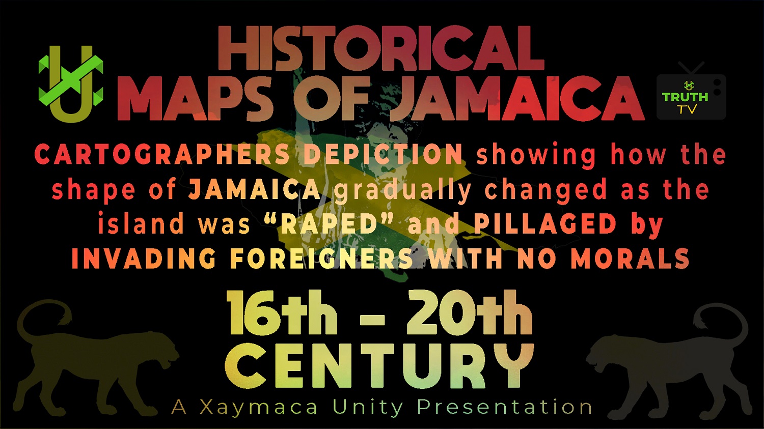
16th-20th Century Historical Maps of Jamaica
THERE WAS A TIME WHEN JAMAICA HAD NO internal borders; THEN CAME THE INVADERS!
This presentation shows a collection of different historical maps of Jamaica emphasizing the island’s changes under British rule. Jamaica became an English territory in 1655, when it was captured from the Spanish, and continues to be part of the British colonies for over 300 years even after the so-called independence in 1962.
Watch as the following 16th-20th century historical maps of Jamaica from a series of Jamaican stamps and other sources, show how the shape of the island, depicted by cartographers, gradually changed as the island was INVADED by foreigners with no morals whom politics labelled as COLONIZERS; from the 16th century to now.
INVADERS IN OUR LAND FROM THEN TILL NOW!
Watch on XU Truth TV
![]()
Subscribe to XU Truth TV
Like, share and follow us on our social media platforms.